| BACK |
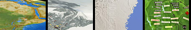
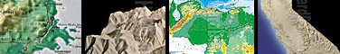
Landform Models
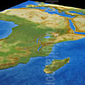
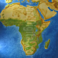
African Model - Africa - Landform Model |
|
|
|
Landform Model
 |
Landform Model - African Model - Africa
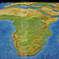
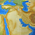
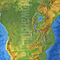
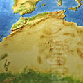
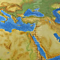
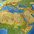
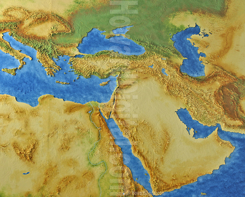
Custom Map of Africa and Saudi Arabia that shows the Red Sea and the Nile River that runs the course through Africa. The Nile River splits into two Rivers called the Blue Nile and the White Nile River. On one side of the Nile River is the Nubian Desert, on the other side the Libyan Desert. Saudi Arabia is on the other side of the Red Sea. Above this Raised Map of Africa are the raised areas of Greece, Italy (Which is shaped like a boot), The Caspian Sea, The Black Sea and the Mediterranean Sea. |
|
|
|
|
| We supply landform models to developers, builders, architects and model shops around the world. Our landform models are milled from slabs of polyurethane foam. Our milling process accurately creates landform models from your paper or digital contour map. Our landform models can be finished out and ready for final presentation, ready to drop your building into or supplied right off the machine for use as a study model or for your model shop to finish. |
| We are experienced model makers. Our landform models are precision cut from a solid piece of high density polyurethane foam.
Our high speed milling process accurately creates the 3D contour model from your DRAWINGS or DATABASE. Upon receipt of your information, we will call
you to confirm details and PRICING. Options include: stepped contour
or smooth, base paint, roads, walks, water, property lines, foundation cuts for buildings,
landscaping and BUILDINGS |
| Whether you call them relief map models, 3D contour models, architectural site plan models, terrain models, 3d topography maps, topographic map models, topographical maps, raised relief maps, 3d topo map models, landscape models, contoured site models or landform models - TOPO EXPRESS makes them. Most of our topographic foam bases are ready to ship in 1 week or less. These landform models are the ideal base for both study models and finished presentation models. |
| |