Terrain Map Model - Howard Models |
| Smooth Unpainted Map Lots & Parcels | |||||||
 |
 | ||||||
| Bringing you RELIEF for over 45 years! | |||||||
|
Your custom terrain model will usually ship in 1 -2 weeks. These 3d terrain models are the ideal base for both study models and finished presentation exhibit models. Click here for our Terrain Model PRICE CHART Toll-Free . 1-888-TOPO-TOPO . 1-888-867-6867 |
|||||||
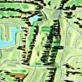
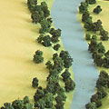
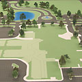
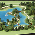 Sandyvale Illinois Botanic Garden |
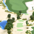
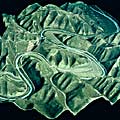
 Hawaii Highway Alternatives Model |
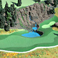
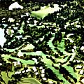
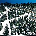
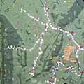
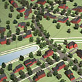
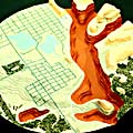
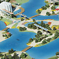
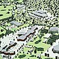
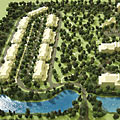
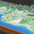
 Korean Amusement Park Site Plan Model |
||
|
||||
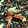
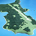
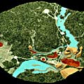
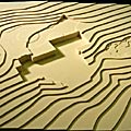
 Boblo Island Model Canada |
||||
|
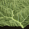
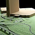
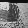
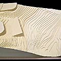
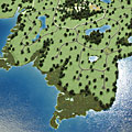
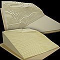
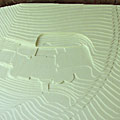
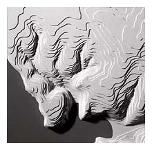
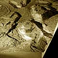
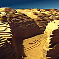
We supply terrain models to developers, builders, architects and model shops around the world. Great for exhibits and displays. Your terrain model is milled from slabs of polyurethane foam. Our milling process accurately creates topography models from your paper or digital topography map. Your physical surface model can be finished out and ready for final presentation, ready to drop your building into or supplied right off the machine for use as a study model or for your model shop to finish. |
||||
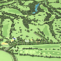
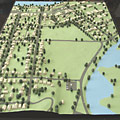
 Richmond Virginia Botanical Garden |
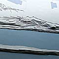
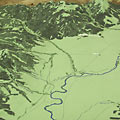
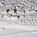
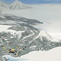 McMurdo Station Antartica |
|||
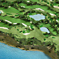
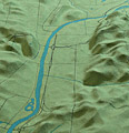
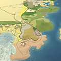
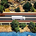 Colorado Highway Model |
||||
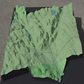
 Terrain Maps Model |
 Topographical Maps Model |
 Terrain Maps Model |
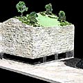
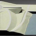
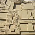
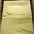
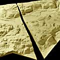
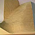 Terrain Model Base |
|
|
Whether you call them relief maps models, 3D contour models, architectural site plan models, terrain model, 3d topography maps, topographic maps models, topographical maps, 3d topo maps models, landscape models, contoured site models or terrain model - TOPO EXPRESS makes them. Most of our topography map foam bases are ready to ship in 1 week or less. These terrain model are the ideal base for both study models and finished presentation models. |
||||
TOPO PRICE CHART |
||||
EMAIL - PHONE - ADDRESS |
| Architectural Presentation - Rendering - Architectural Animation - Architectural Model Supply - Architectural Model - Raised Relief Map - Digital Content - Pewter Building |